

Overview
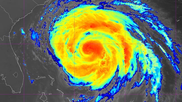
- The National Hurricane Center’s 5 a.m. ET update places Erin about 455 miles south-southeast of Cape Hatteras with 100 mph winds, a growing wind field extending hurricane-force 90 miles and tropical-storm-force 265 miles.
- Tropical storm and storm surge warnings cover parts of North Carolina from Beaufort Inlet to Duck, where 2 to 4 feet of inundation is possible, with watches extending into Virginia and for Bermuda.
- North Carolina declared a state of emergency and ordered mandatory evacuations for Hatteras and Ocracoke, and officials warned NC Highway 12 could be impassable for periods over the next several days.
- Life-threatening rip currents and large surf are affecting much of the East Coast, with New York City and Long Island banning swimming through Thursday and officials reporting numerous rescues and at least one drowning tied to rip currents.
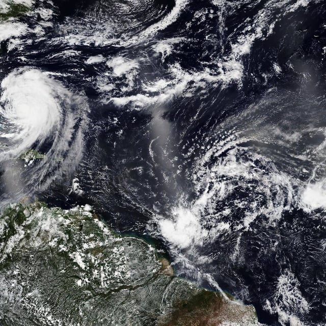
- Erin’s center is forecast to pass between the U.S. coast and Bermuda before turning northeast, as the NHC also tracks two other Atlantic disturbances with medium and lower chances of development this week.