Overview
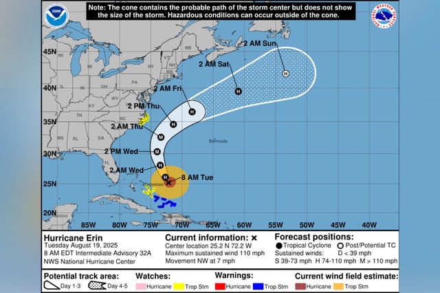
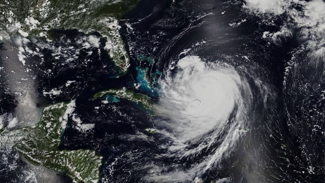
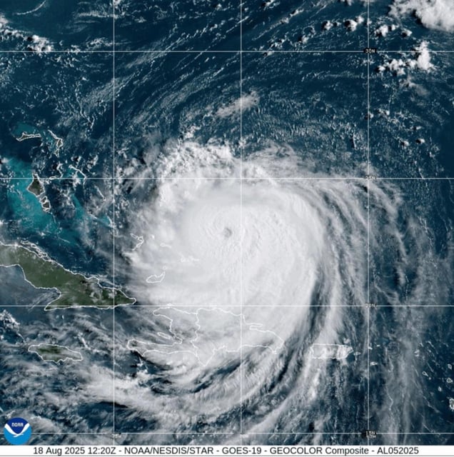
- Erin is tracking north between Bermuda and the U.S. coast with an expanding circulation, with hurricane‑force winds reaching about 80 miles from the center and tropical‑storm‑force winds about 205 miles.
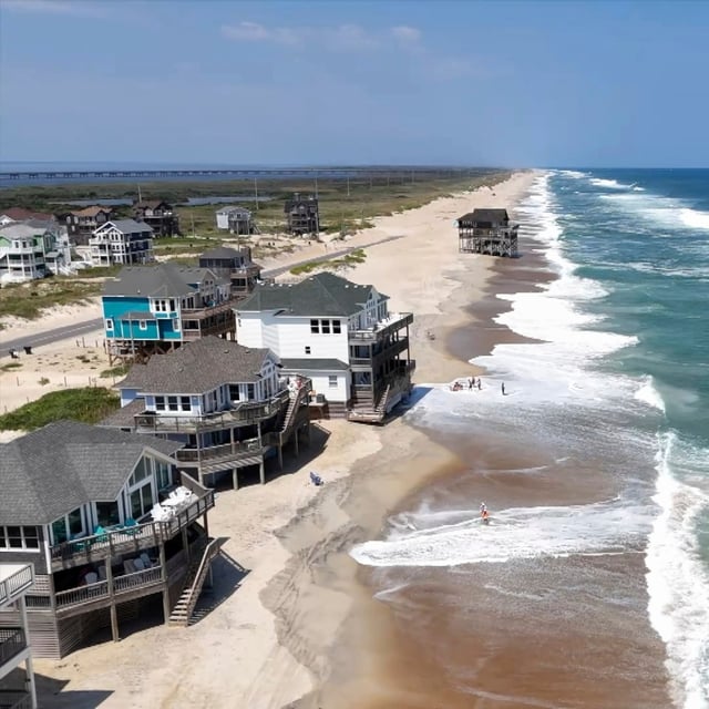
- Tropical storm and storm surge watches are posted for North Carolina’s Outer Banks, including a surge of 2–4 feet from Cape Lookout to Duck, as the core passes offshore midweek.
- Dare and Hyde counties declared states of emergency, with mandatory evacuations for Hatteras and Ocracoke Islands and concerns that NC Highway 12 could be overwashed for days.
- Life‑threatening surf and rip currents are affecting beaches from the Bahamas to Atlantic Canada, with dozens of rescues reported in Wrightsville Beach on Monday and 144 rescues at New Hampshire’s Hampton Beach last week, alongside closures and no‑swim advisories from New Jersey to New England.
- Exposed coasts could see 15–25 foot breakers in areas like the Outer Banks and Cape Cod and 10–15 feet along parts of Long Island, while ocean models show significant wave heights exceeding 50 feet offshore with larger individual waves possible near the storm’s center; forecasters are also tracking two disturbances behind Erin with roughly 60% and 30% odds of development.