Overview
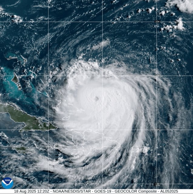
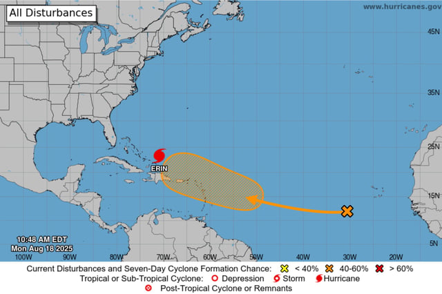
- Erin regained major-hurricane strength Monday with sustained winds of 130–140 mph and an expanded wind field stretching over 200 miles from its center.
- The National Hurricane Center issued tropical storm watches and warnings for the southeastern and central Bahamas and Turks and Caicos while forecasting dangerous surf and rip currents for Bermuda, the U.S. East Coast and Atlantic Canada.
- Dare and Hyde counties in North Carolina declared states of emergency and ordered mandatory evacuations for Hatteras and Ocracoke islands ahead of forecast coastal flooding and overwash from Aug. 19 through Aug. 21.
- Portions of North Carolina Highway 12 on both barrier islands are expected to become impassable for several days once high surf and ocean overwash begin on Tuesday.
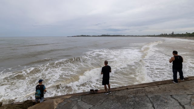
- Erin’s outer bands already drenched Puerto Rico with heavy rain, knocking out power for about 147,000 customers before service was largely restored.