Overview
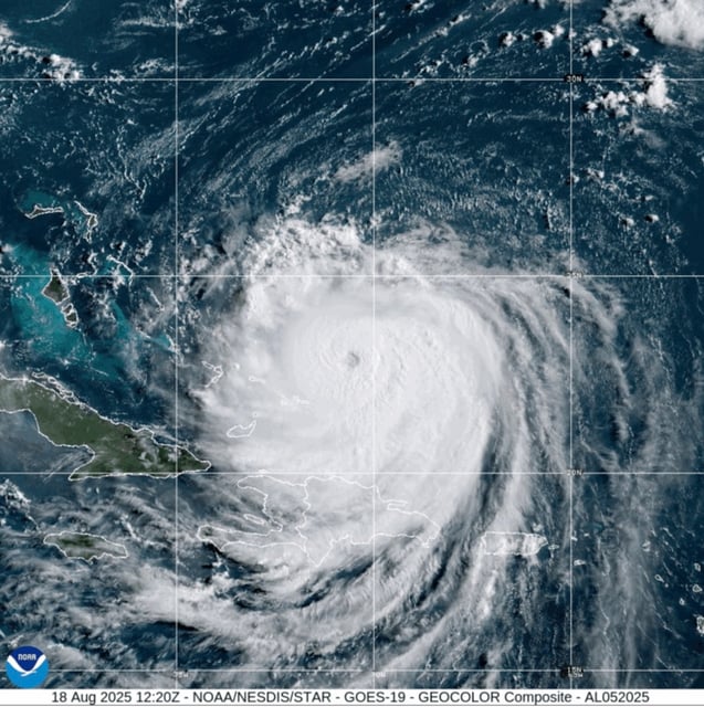
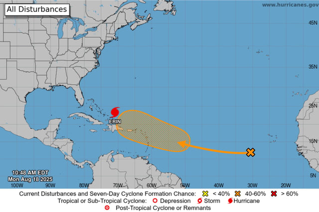
- Erin strengthened overnight into a Category 4 hurricane with sustained winds near 130–140 mph and is forecast to remain a dangerous major storm into midweek as it turns north then northeast offshore.
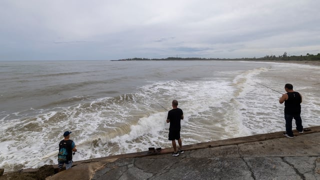
- Expanded hurricane-force wind radii are generating life-threatening surf and rip currents along the U.S. East Coast, the Bahamas, Bermuda and Atlantic Canada.
- Dare and Hyde counties declared states of emergency and issued mandatory evacuations for Hatteras and Ocracoke islands with staggered timelines as coastal flooding and ocean overwash are expected Aug. 19–21.
- Outer bands of Erin have already drenched Puerto Rico and the U.S. Virgin Islands, knocking out power to about 147,000 customers before service was largely restored.
- Forecasters warn that rapid intensification and large swells at the seasonal peak keep coastal hazards elevated despite a track that keeps Erin’s core offshore.