
Overview
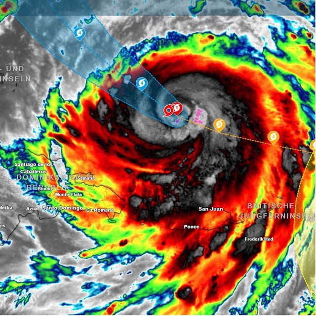
- The National Hurricane Center upgraded Erin back to Category 4 late Sunday, reporting sustained winds near 215–220 km/h east of the Turks and Caicos as the storm moved northwest toward the southeastern Bahamas.
- Puerto Rico reported flooding and more than 150,000 power outages, and authorities warned of flash floods and landslides across parts of the Caribbean.
- Dare County ordered mandatory evacuations for Hatteras and Ocracoke Islands, with the NHC warning of dangerous rip currents and waves up to six meters along North Carolina’s barrier islands.
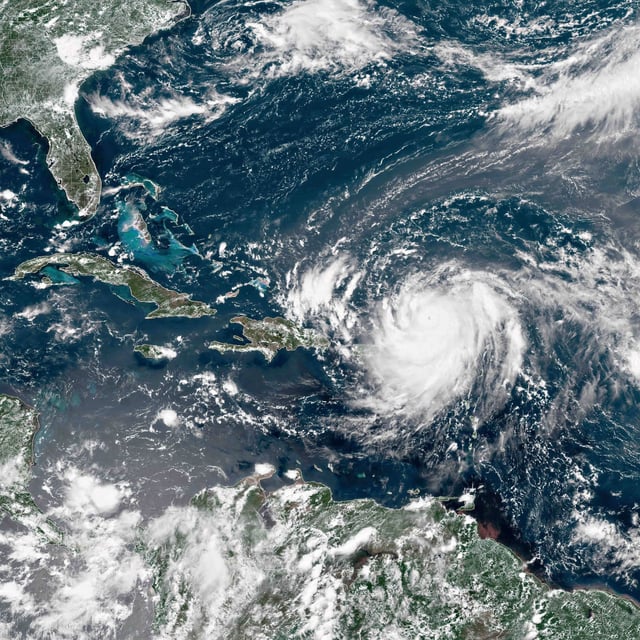
- Current guidance shows Erin passing between the U.S. East Coast and Bermuda without a forecast U.S. landfall, yet forecasters expect high surf and strong currents along much of the shoreline.
- Erin is expected to transition to an extratropical system over cooler waters, and scientists link its explosive intensification from Category 1 to 5 in about 24 hours to unusually warm seas, with any influence on Europe’s weather still uncertain.