Overview
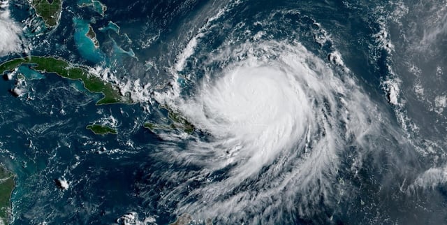
- Erin regained Category 4 status with sustained winds near 215 km/h after briefly weakening to Category 3 over the weekend.
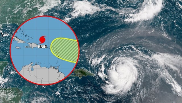
- The hurricane has triggered hazardous surf and rip currents along Turks and Caicos and Puerto Rico, cutting power to more than 160,000 customers.
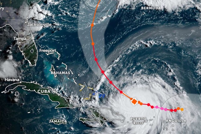
- U.S. FEMA deployed personnel to the Caribbean while the National Hurricane Center and CONAGUA maintain active watches as Erin moves northwest at about 19 km/h.
- Forecasts indicate a possible secondary intensification near the Bahamas with hurricane-force winds extending up to 95 km from the storm’s center.
- Meteorologists attribute Erin’s rapid intensity swings to unusually warm Atlantic sea-surface temperatures and favorable atmospheric conditions in an active 2025 season.