

Overview
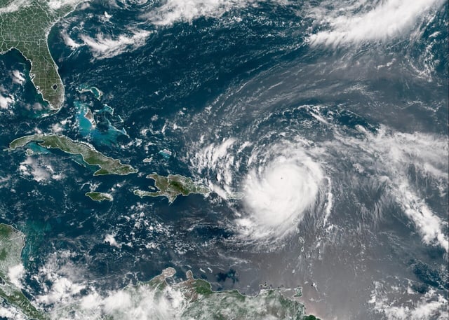
- Erin strengthened back to Category 4 early Monday with sustained winds near 215 km/h and hurricane-force winds extending up to 95 km from its center.
- Bands of the storm already cut power to roughly 147,000–160,000 customers in Puerto Rico and forced flight cancellations across the islands.
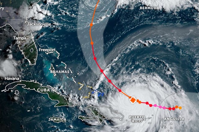
- Models show Erin curving north-northeast, keeping its eye north of Puerto Rico and away from U.S. mainland landfall even as North Carolina’s Dare County declared an emergency and ordered Hatteras Island evacuations.
- Dangerous surf, rip currents and coastal flooding are expected from the Bahamas and Bermuda to the U.S. East Coast into midweek as Erin’s large wind field churns Atlantic waters.
- Meteorologists attribute Erin’s rapid intensity swings to unusually warm Atlantic waters and warn that its strength could fluctuate again as it approaches the Bahamas.