

Overview
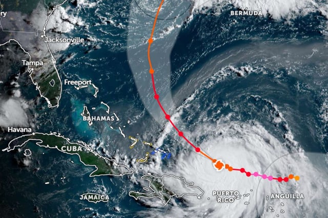
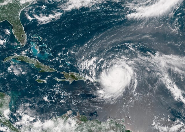
- Erin re-intensified overnight to a Category 4 hurricane with sustained winds of 215 km/h and a wind field that spans up to 370 km.
- The storm’s center is passing near the southeast Bahamas and Turks and Caicos, moving northwest at about 19 km/h and is forecast to curve northward between Bermuda and the U.S. East Coast later this week.
- Life-threatening surf, rip currents and coastal flooding risks are expected along the Atlantic seaboard from Florida to Maine as well as in the Bahamas, Bermuda and Atlantic Canada through midweek.
- Outer bands have already brought heavy rain to Puerto Rico, knocking out power for roughly 150,000 customers and canceling over 20 flights, while Dare County, North Carolina, declared a state of emergency and ordered evacuations for Hatteras Island.
- Mexico’s CONAGUA and SMN report that Erin’s current distance and trajectory pose no direct threat to the country at this time.