
Overview
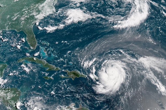
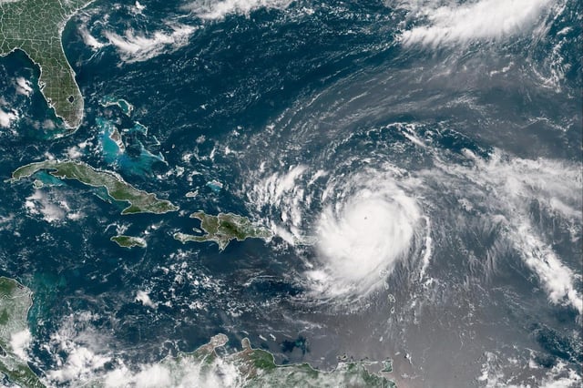
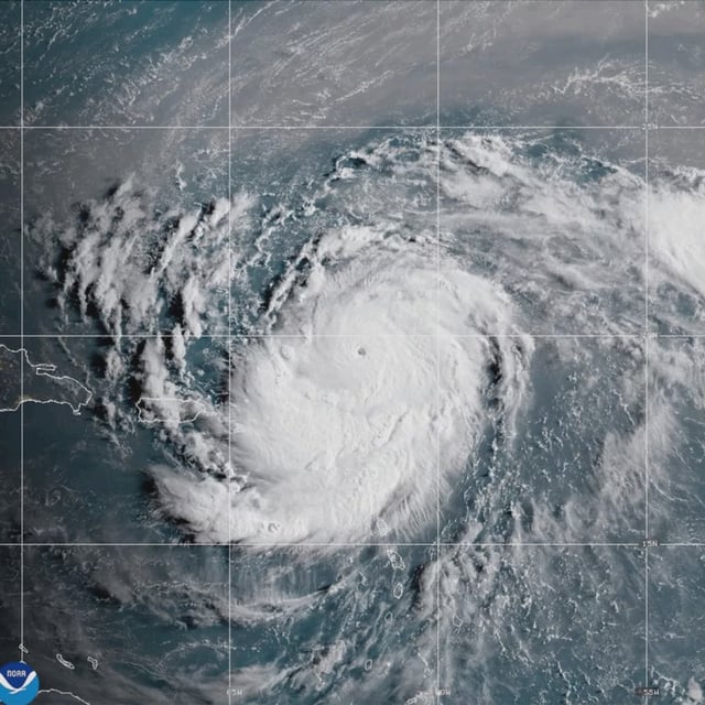
- Erin intensified from a tropical storm to a Category 5 hurricane by Saturday with sustained winds near 160 mph, becoming the first major hurricane of the 2025 Atlantic season.
- The National Hurricane Center places its center north of the northern Leeward Islands and forecasts a northward turn that will keep its core offshore this week.
- Outer bands are already producing life-threatening surf and rip currents, while predicted rainfall of 2–6 inches raises risks of flash flooding and landslides across the Leeward Islands, U.S. Virgin Islands and Puerto Rico.
- Maritime operators have responded preemptively, with the U.S. Coast Guard closing ports in Puerto Rico and the U.S. Virgin Islands and Disney Cruise Line rerouting the Disney Treasure and canceling port adventures at Tortola and St. Thomas.
- Meteorologists link Erin’s rapid strengthening to unusually warm Atlantic sea surface temperatures, underscoring a trend toward more frequent rapid intensification events driven by climate change.