Overview
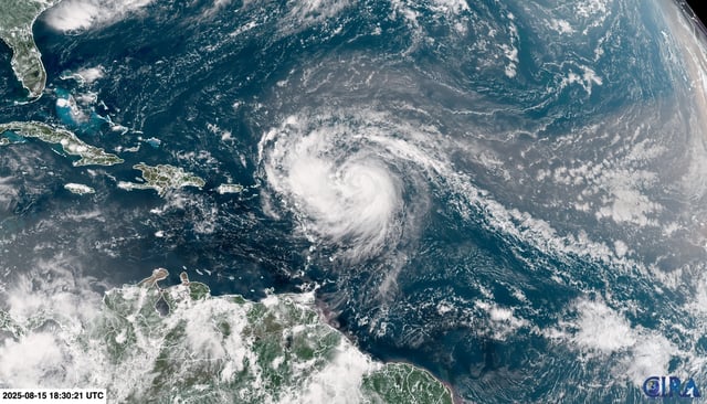
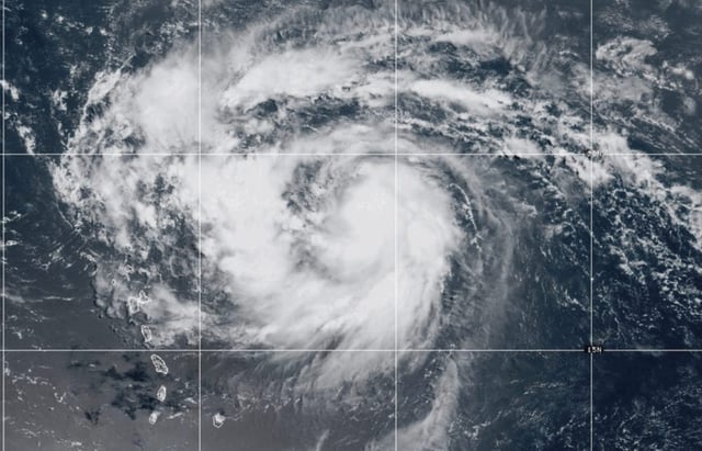
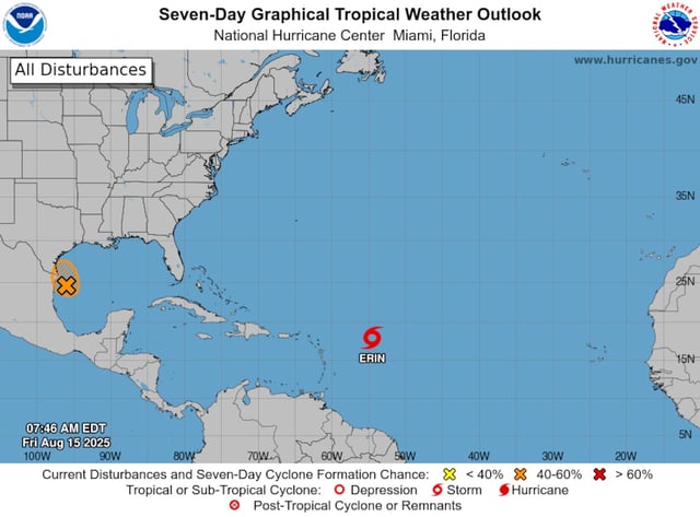
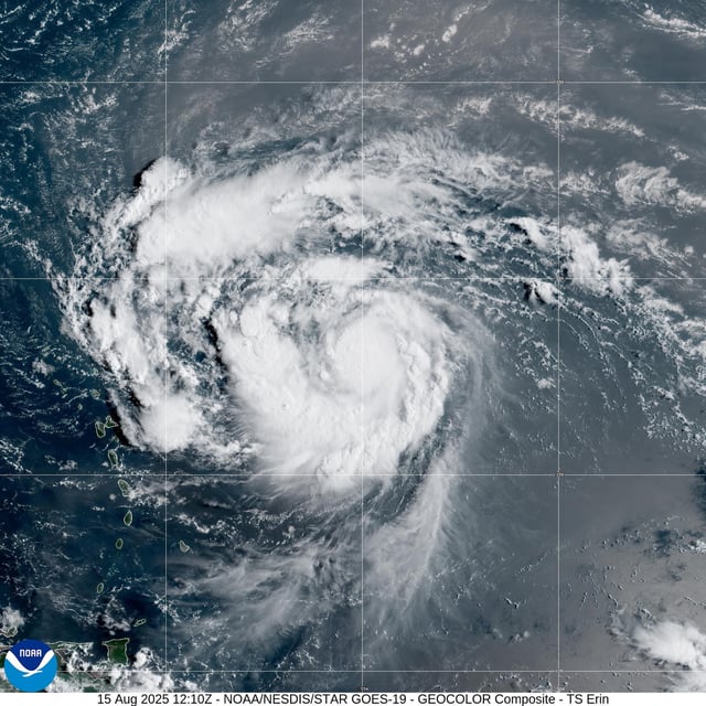
- Hurricane Erin has rapidly strengthened to Category 4 with sustained winds near 130 mph as it moves just north of the northern Leeward Islands.
- The National Hurricane Center forecasts additional strengthening followed by a northward turn into the western Atlantic; the core is expected to remain offshore while swells and rip currents extend far beyond the storm’s center.
- Tropical storm watches persist for Anguilla, Barbuda, St. Martin/Sint Maarten, St. Barts, Saba and St. Eustatius; rainfall of 2–4 inches with isolated 6-inch amounts could trigger flash floods and landslides.
- FEMA and the U.S. Coast Guard have deployed more than 200 personnel to Puerto Rico; hundreds of shelters were inspected and key ports in Puerto Rico and the U.S. Virgin Islands were closed to incoming vessels.
- Swells of up to 12 feet are forecast to spread from the Bahamas to U.S. East Coast beaches next week; these conditions pose significant erosion and rip current hazards.