Overview
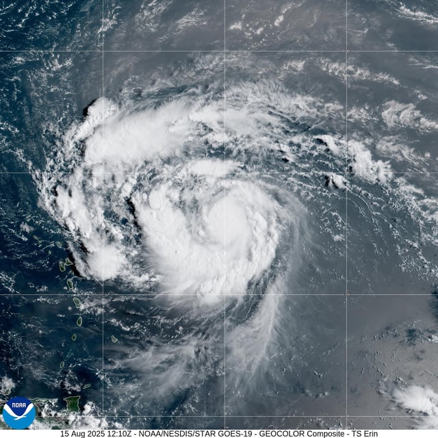
- The National Hurricane Center forecasts Erin will intensify into the Atlantic season’s first major hurricane by Sunday, with sustained winds potentially reaching near 130 mph.
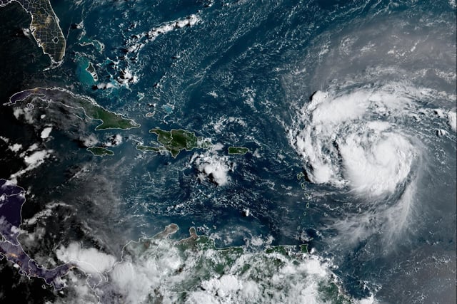
- Global models and NOAA’s Weather Prediction Center agree that Erin should turn northward into the open Atlantic, making a direct U.S. landfall unlikely.
- Tropical-storm watches have been issued for Anguilla, Barbuda, St. Martin, St. Barthelemy, Saba, St. Eustatius and Sint Maarten, while Puerto Rico and the U.S. Virgin Islands are under warnings for flash flooding and landslides.
- Erin is expected to produce 2–6 inches of rain across the northern Leeward Islands, Puerto Rico and the Virgin Islands, with isolated higher totals raising flood and mudslide concerns.
- Forecasters warn that Erin will generate large swells in the eastern Caribbean this weekend and push life-threatening surf and rip currents along U.S. East Coast beaches next week.


