
Overview
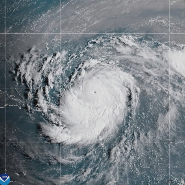
- The National Hurricane Center confirmed Erin reached Category 5 strength on August 16, with Hurricane Hunter flights reporting sustained winds near 160 mph and central pressure around 935 mb.
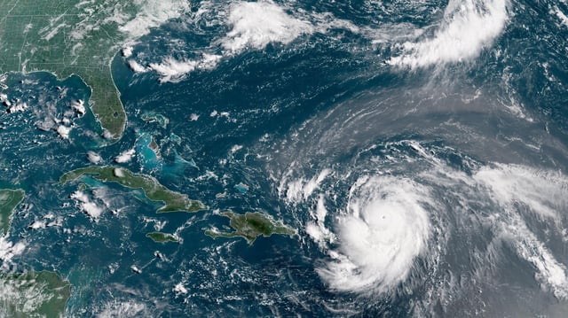
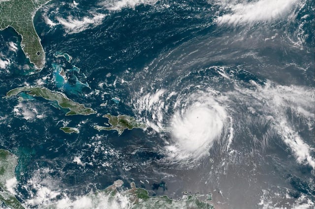
- Forecast models show Erin passing north of the northern Leeward Islands, U.S. Virgin Islands and Puerto Rico before curving northeast away from the U.S. mainland, though Bermuda remains within the margin of error.
- Meteorologists attribute the rapid intensification to a compact core, very warm sea-surface temperatures and low wind shear—conditions increasingly common this season.
- Outer rainbands are already producing heavy rainfall across the northern Leewards, the Virgin Islands and Puerto Rico, raising flash-flood and landslide concerns in vulnerable communities.
- Federal and local agencies have closed ports, issued tropical watches and pre-positioned FEMA and Coast Guard assets as life-threatening surf and rip currents build from the Bahamas to Atlantic Canada.