Particle.news

Download on the App Store

Hurricane Erin Expands Offshore, Set to Reintensify

Growing rapidly in size, Erin is forecast to reintensify with a broad, offshore wind field driving dangerous surf along Atlantic shores.

Water surrounds a house in Guayama, Puerto Rico, as Hurricane Erin brings rains to the island, Sunday, Aug. 17, 2025. (AP Photo/Alejandro Granadillo)
A red flag warns of dangerous waves on an empty beach in San Juan, Puerto Rico, after Hurricane Erin passed by near the island on Sunday, Aug. 17, 2025. (AP Photo/Alejandro Granadillo)
ATLANTIC OCEAN - AUGUST 15: In this NOAA image taken by the GOES satellite, Hurricane Erin crosses the Atlantic Ocean as it moves west on August 15, 2025. According to the National Hurricane Center, Erin has strengthened to a Category 1 storm as the first major hurricane of the 2025 season. (Photo by NOAA via Getty Images)
Hurricane Erin, which is the first hurricane of the 2025 Atlantic season, moves westward near Puerto Rico in a composite satellite image August 16, 2025.

Overview

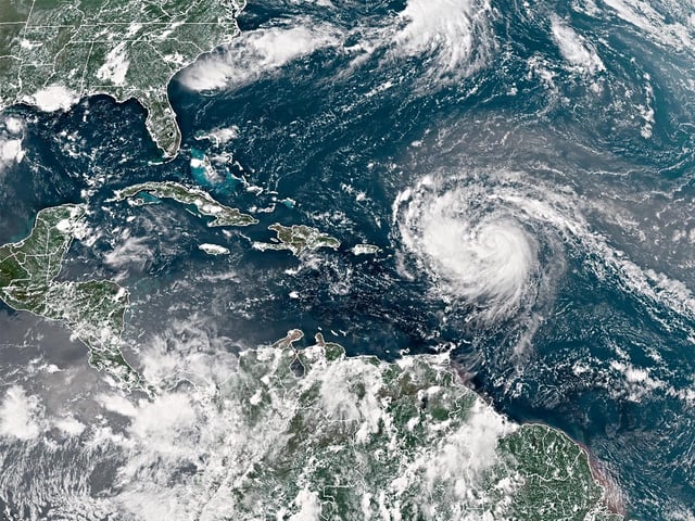
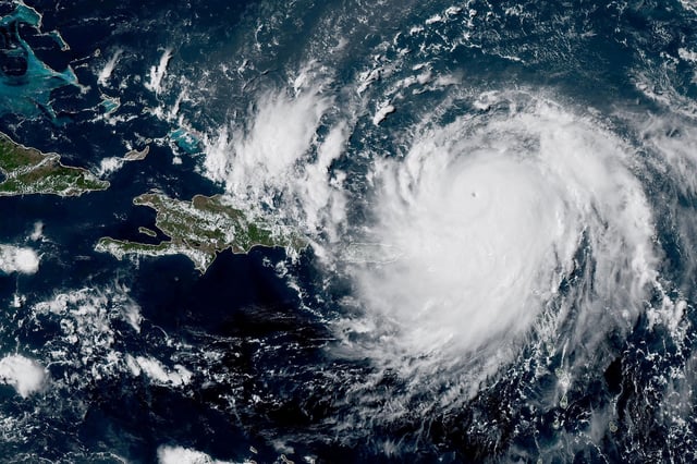
  • Erin reached Category 4 strength late Sunday with maximum sustained winds of 130 mph after briefly weakening to Category 3.
  • Its hurricane-force gusts now extend about 60 miles from the center, while tropical-storm-force winds span up to 230 miles.
  • The National Hurricane Center expects the core to pass east of Turks and Caicos and the southeast Bahamas before veering north into open Atlantic waters.
  • Tropical storm warnings are in effect for Turks and Caicos, watches cover the southeast Bahamas, and coastal advisories warn of life-threatening surf and rip currents along the U.S. East Coast and Atlantic Canada.
  • Erin’s outer rainbands knocked out power for roughly 147,000 customers in Puerto Rico, grounded flights and prompted evacuation orders for Hatteras Island in North Carolina.