Particle.news

Download on the App Store

Hurricane Erin Drops to Category 3 During Eyewall Replacement, May Reintensify

Erin’s broadening wind field will fuel life-threatening surf along Atlantic coastlines.

A close look at this NASA satellite image shows smoke drifting from the site of the attacks on the World Trade Center on Sept. 11, 2001 as a previous Hurricane Erin churns along off the U.S. East Coast.
Hurricane Erin has weakened to a Category 3 storm but remains significant, with dangerous surf and rip currents expected along the Florida and East Coast. (Photo by Handout / NOAA / AFP)
A surfer rides a wave at La Pared beach as Category 5 Hurricane Erin approaches in Luquillo, Puerto Rico on August 16, 2025. Hurricane Erin rapidly strengthened offshore to a catastrophic Category 5 storm on August 16, as rain lashed Caribbean islands and weather officials warned of possible flash floods and landslides. (Photo by Ricardo ARDUENGO / AFP)
Forecasted U.S. rip current risk over this weekend Aug. 17-18

Overview

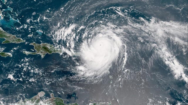
  • Erin’s eyewall replacement cycle drove its sustained winds down to 125 mph north of Puerto Rico, but sea surface temperatures and low wind shear leave room for re-strengthening.
  • Reconnaissance and satellite data show tropical-storm-force winds now reaching over 200 miles from Erin’s center, expanding rough-sea conditions across the western Atlantic.
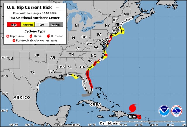
  • Outer rainbands have triggered flood watches and flash-flood warnings in Puerto Rico and the U.S. Virgin Islands, where isolated downpours of up to 8 inches have been reported.
  • Tropical storm warnings for the Turks and Caicos and watches for the southeast Bahamas remain in effect as Erin tracks northward offshore of the Caribbean.
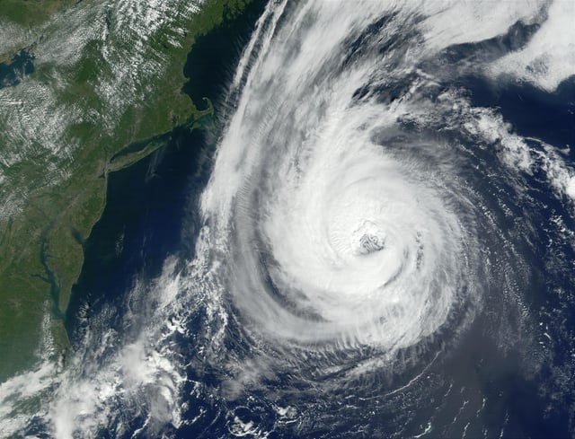
  • Forecast models keep Erin curving between Bermuda and the U.S. East Coast, though uncertainty over an approaching trough in Atlantic Canada could nudge its impacts farther north.