Overview
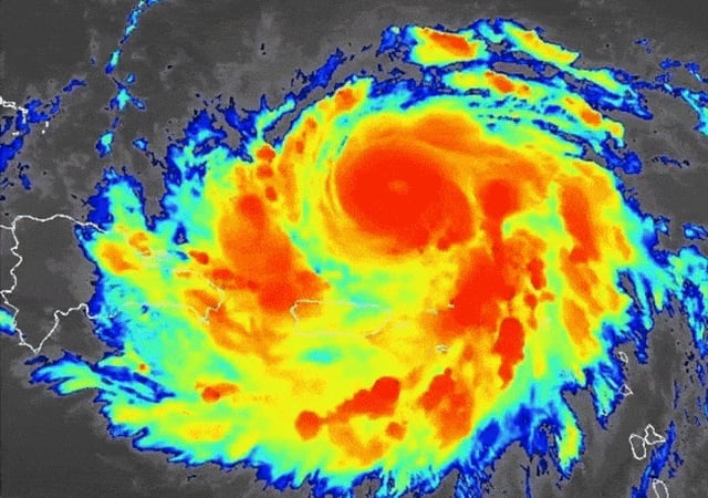
- As of Sunday morning, Erin was about 170 miles north-northwest of San Juan with sustained winds of 125 mph and moving north-northwest at 17 mph.
- NOAA Hurricane Hunters recorded winds near 160 mph when Erin reached Category 5 early Saturday before an eyewall replacement broadened its wind field and cut peak intensity to Category 3.
- The National Hurricane Center’s forecast calls for Erin to turn north-northeast away from the Bahamas and pass several hundred miles off North Carolina by late week.
- Outer rainbands have dumped up to six inches of rain across Puerto Rico, the U.S. and British Virgin Islands and the Leeward Islands, raising flood and landslide risks.
- Forecasters are tracking a separate tropical wave in the central Atlantic that has about a 20 percent chance of developing over the next seven days.
