Overview
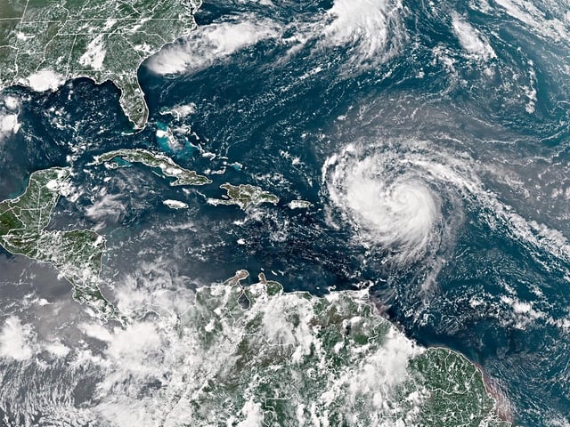
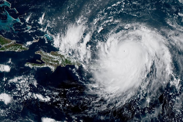
- Erin’s maximum sustained winds fell to 125 mph after peaking near 160 mph, but its wind field has grown to extend hurricane-force gusts 25 miles and tropical-storm winds up to 205 miles from the center
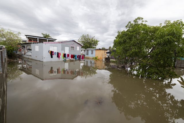
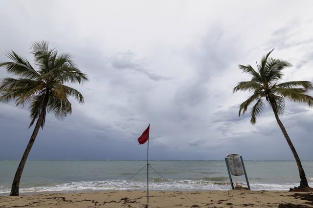
- Outer rainbands are drenching Puerto Rico and the U.S. and British Virgin Islands, leaving about 147,000 customers without power and prompting flight cancellations
- Tropical storm warnings remain in effect for the Turks and Caicos Islands and a watch covers the southeast Bahamas as Erin’s core moves northward
- The storm is forecast to turn north later this week and track between North Carolina’s Outer Banks and Bermuda, staying offshore but driving life-threatening swells along the U.S. East Coast and into Atlantic Canada
- Dare County declared a state of emergency and ordered mandatory evacuations on Hatteras Island over expected heavy surf and potential road washouts