
Overview
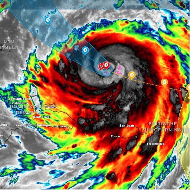
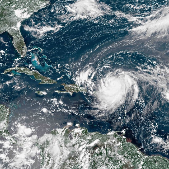
- The National Hurricane Center said Erin remains a large, dangerous storm hundreds of kilometers southeast of North Carolina even after weakening to Category 2.
- Mandatory evacuations were ordered for Hatteras and Ocracoke Islands, with officials warning of rip currents, up to six‑meter waves, and surge capable of flooding more than a meter above ground.
- Forecasts project the system to pass between the U.S. East Coast and Bermuda mid‑week, keeping its strongest winds offshore but extending hazardous conditions over a broad area.
- Puerto Rico has already seen flooding, with more than 150,000 households temporarily without power as heavy rain and rough seas affected parts of the northern Caribbean.
- Meteorologists note Erin’s explosive peak from Category 1 to 5 in about 24 hours and say unusually warm waters likely contributed, with its post‑tropical evolution potentially shaping North Atlantic and European weather later in August.