
Overview
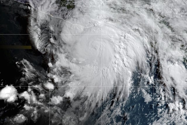
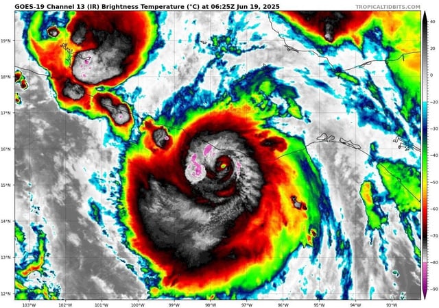
- Hurricane Erick made landfall near Punta Maldonado in western Oaxaca at around 6 a.m. local time with 125 mph sustained winds as a Category 3 storm.
- With a slow northwest track of about 9 mph, Erick is expected to drop up to 20 inches of rain in Oaxaca and Guerrero, raising the threat of life-threatening flooding and mudslides in steep terrain.
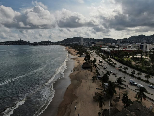
- Authorities have established over 2,000 temporary shelters across Oaxaca, Guerrero and Chiapas and suspended classes and port operations while deploying troops and power crews.
- The storm doubled in strength in under 24 hours, intensifying from a tropical storm to a 145 mph Category 4 overnight - one of the fastest deepening rates recorded in the eastern Pacific this early in the season.
- Forecasters predict Erick will weaken rapidly over southern Mexico’s mountains and dissipate by late Thursday or early Friday, though its moisture may fuel storms as far north as the southern United States.