

Overview
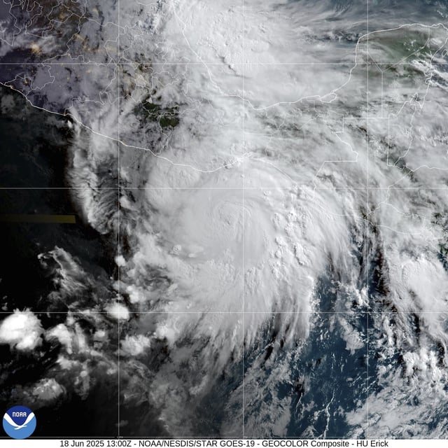
- Erick has rapidly strengthened into a Category 4 hurricane with maximum sustained winds of 195 kph (121 mph).
- A hurricane warning is in effect from Acapulco to Puerto Angel and a hurricane watch extends westward to Tecpan de Galeana and eastward to Bahias de Huatulco.
- Authorities have established over 2,000 temporary shelters in Oaxaca and Guerrero and deployed troops and electricity crews to assist with evacuations and post-storm recovery.
- The National Hurricane Center forecasts rainfall totals of 8 to 16 inches, with localized amounts up to 20 inches, raising the threat of life-threatening flooding and mudslides in steep terrain.
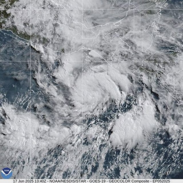
- Erick’s early-season formation, more than a month ahead of the climatological average for the basin’s fifth named storm, is attributed to unusually warm ocean temperatures and low wind shear.