Overview
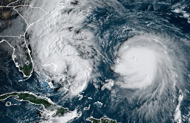
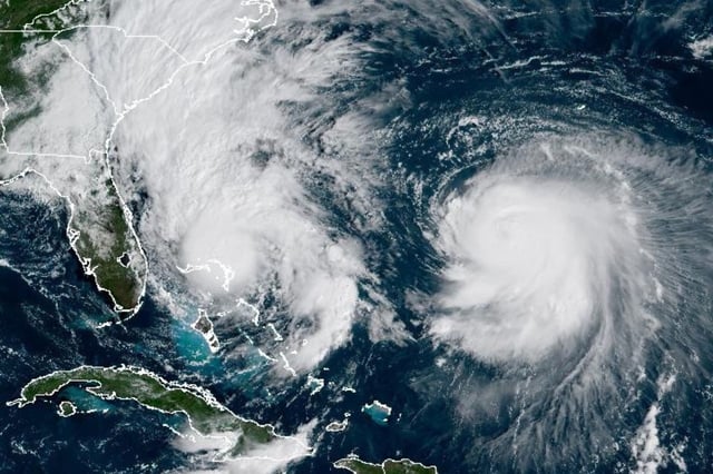
- Tropical Storm Imelda is over the northwestern Bahamas with sustained winds near 60 mph, dumping 4 to 8 inches of rain and prompting mandatory evacuations, school closures and scattered power outages.
- The National Hurricane Center forecasts Imelda to become a hurricane on Tuesday before accelerating east-northeast away from the U.S. as Hurricane Humberto erodes the subtropical ridge.
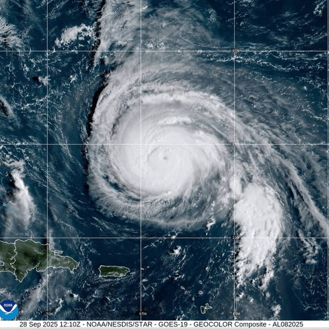
- Humberto remains a Category 4 storm with about 145 mph winds south-southwest of Bermuda, where a Tropical Storm Watch is posted as the hurricane tracks west of and then north of the island.
- Along the U.S. coast, officials warn of large surf, life-threatening rip currents, pockets of coastal flooding and 1 to 2 inches of rain from Florida to the Carolinas, including a coastal flood warning for North Carolina’s Outer Banks with possible overwash on Highway 12.
- Model guidance has converged on an offshore track with no U.S. landfall expected, though intensity near Bermuda remains uncertain and the island could see a close pass from Imelda with 2 to 4 inches of rain later this week.