
Overview
- Tropical storm warnings are posted for parts of the Bahamas and a tropical storm watch is in effect for Florida’s east coast as the second system strengthens.
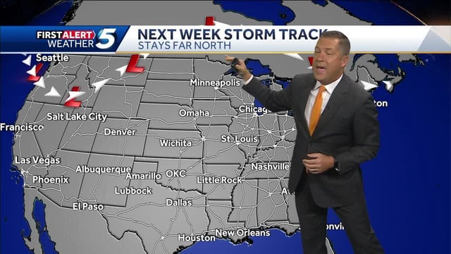
- Hurricane Humberto, recently a Category 5 over the open Atlantic, remains powerful offshore and could help tug the developing storm northeast, though small track shifts could alter coastal effects.
- Forecast guidance points to a moisture plume that may deliver uneven 0.5–3 inches of rain and gusts near 20–35 mph across portions of the Carolinas and Georgia early next week.
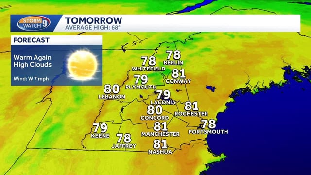
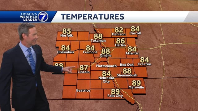
- A broad ridge is keeping much of the U.S. warm and dry now, with highs in the upper 70s to 80s before a midweek front drops temperatures toward more fall-like levels.
- Even with Humberto offshore, forecasters caution about elevated surf and dangerous rip currents along parts of the East Coast this week.