Overview
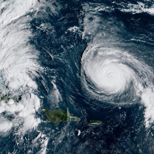
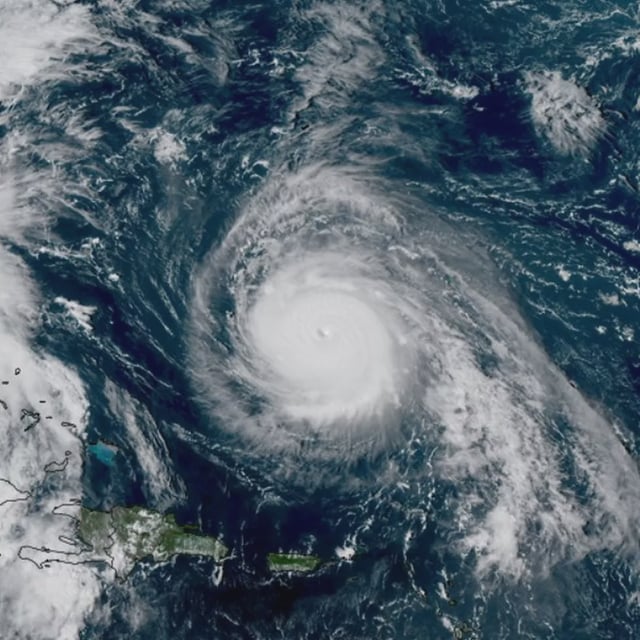
- The National Hurricane Center says Imelda, with 45 mph winds and a 996 mb pressure early Monday, is expected to strengthen into a hurricane by Tuesday before making a sharp east‑northeast turn away from the U.S. coast.
- Tropical storm warnings remain for parts of the northwestern Bahamas, where 4–8 inches of rain and 1–3 feet of surge are possible; central Bahamas warnings have been discontinued and Bermuda is advised to monitor the system later this week.
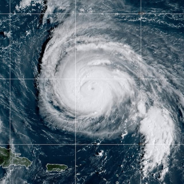
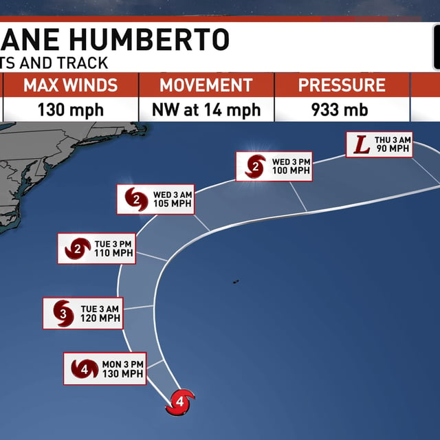
- Humberto remains a Category 4 hurricane south-southwest of Bermuda and is forecast to pass well west and north of the island before recurving into the open Atlantic, with large swells driving life‑threatening rip currents along the Bahamas, Bermuda and much of the U.S. East Coast.
- Forecasters expect indirect U.S. impacts including high surf, strong rip currents, beach erosion and pockets of coastal flooding of 1–2 feet from Florida to South Carolina, as North Carolina’s state of emergency and South Carolina preparations stay in effect.
- Heavy rainfall tied to Imelda has already caused flooding in parts of the Caribbean, with two deaths reported in the Dominican Republic and Puerto Rico, and UK meteorologists say Humberto’s remnants could help fuel a wet, windy spell later this week.