
Overview
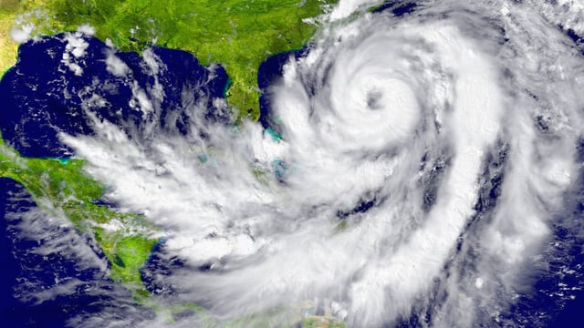
- Tropical Storm Humberto is expected to reach hurricane strength by Friday and continue strengthening into next week, according to forecasters.
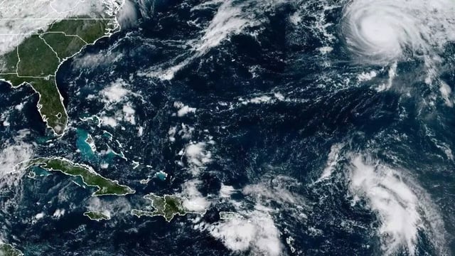
- Invest 94L over the northern Caribbean could organize into a tropical depression this weekend and potentially be named Tropical Storm Imelda soon after.
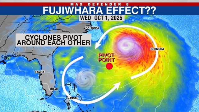
- Forecasts indicate the two systems could draw within several hundred miles early next week, a range where the Fujiwhara effect may redirect tracks and complicate intensity outlooks.
- Some model scenarios keep Humberto offshore as 94L carries the higher near-term risk for U.S. impacts, including the potential for heavy rain along parts of the Southeast and Mid-Atlantic.
- Fujiwhara interactions are uncommon in the Atlantic, last noted in 2023 with Philippe and Rina, prompting close monitoring by the National Hurricane Center.