Overview
- After a warm Bank Holiday, Wales and Northern Ireland logged record August Bank Holiday Monday highs of 29.1C at Hawarden and 24.5C at Magilligan, the Met Office said.
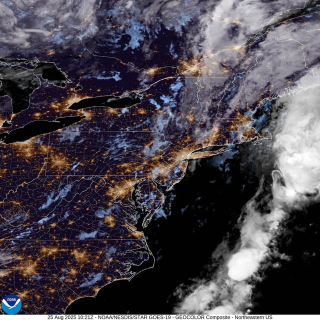
- A rain band linked to ex‑Hurricane Erin is moving across the country Tuesday into Wednesday with heavy showers, a risk of thunder and hail, and a noticeable drop in temperatures.
- Met Office maps and model guidance show widespread downpours with localised intensity; Greater Manchester faced early Tuesday rain and heavier bursts Wednesday, with similar signals for Coventry and Bristol.
- Longer‑range guidance points to low pressure dominating into early September with repeated showers or longer spells of rain and the chance of gusty winds; no national warnings were expected as of Tuesday.
- Provisional Met Office data indicate summer 2025 is almost certainly the UK’s warmest on record, providing context to the brief late‑August heat spike now ending.


