

Overview
- Temperatures across both regions have climbed into the upper 80s to low 90s with dew points lingering in the low to mid-70s.
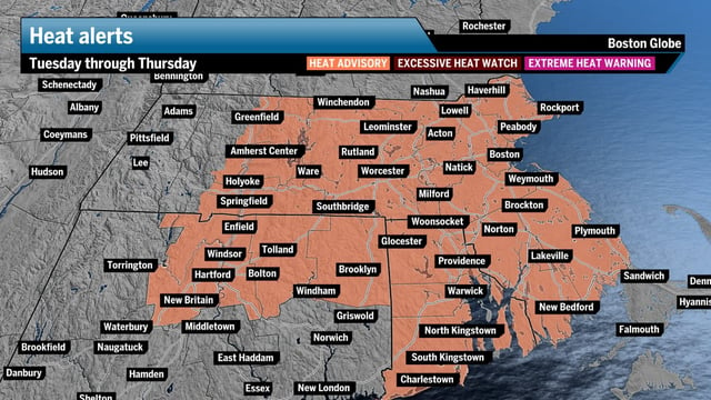
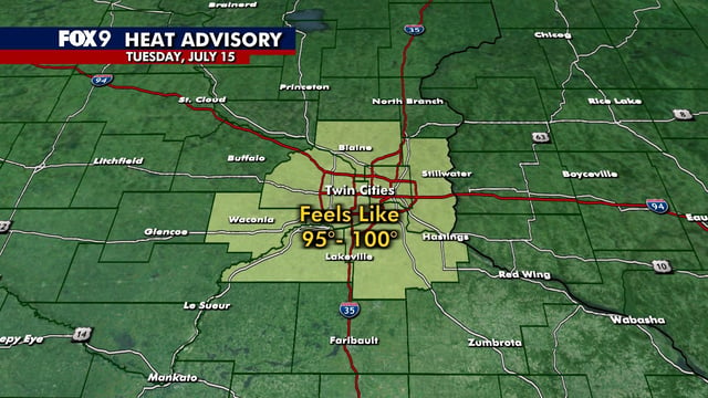
- The National Weather Service has issued heat advisories through Thursday warning that heat index values could reach the mid-90s to around 100°F in inland areas.
- A disturbance moving northeast from the Mississippi Valley and a stalled front are expected to spark a low-end severe thunderstorm threat with scattered storms Wednesday and Thursday.
- Earlier flash flood and severe thunderstorm warnings in much of New England have been lifted, but meteorologists caution that localized flooding remains possible under heavy downpours.
- A cold front forecast to arrive late Thursday into Friday should bring widespread showers and storms followed by cooler, drier conditions for the weekend.