Overview
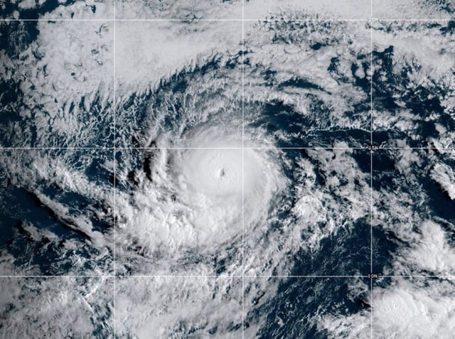
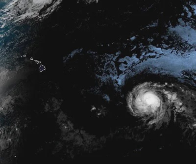
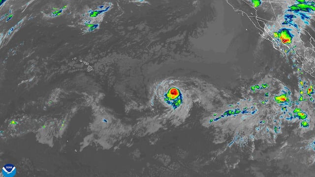
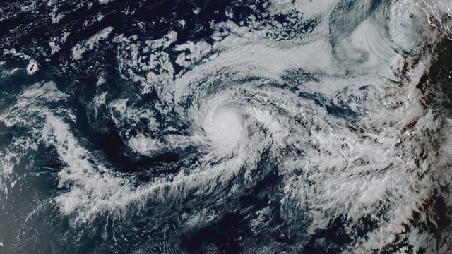
- Kiko entered the Central Pacific as a major hurricane, with the 5 a.m. HST advisory placing it near 15.5°N, 140.5°W about 1,005 miles east-southeast of Hilo, moving west-northwest at 12 mph with maximum sustained winds of 130 mph.
- Swells will reach the Big Island and Maui on Sunday and peak along east-facing shorelines late Monday through midweek, producing life-threatening surf and rip currents, forecasters said.
- There are no coastal watches or warnings in effect, and officials emphasize that the track and magnitude of impacts remain uncertain for the islands early next week.
- Gradual weakening is expected over the next several days as Kiko encounters cooler water, wind shear and dry air, though tropical-storm-force conditions remain possible in parts of Hawaii.
- Acting Gov. Sylvia Luke’s statewide emergency proclamation activates disaster funds and allows Hawaiʻi National Guard support, while Lorena’s remnants continue to pose flash-flood risks in parts of western Mexico and could bring heavy rain to the U.S. Southwest.