Overview
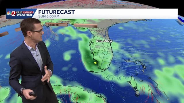
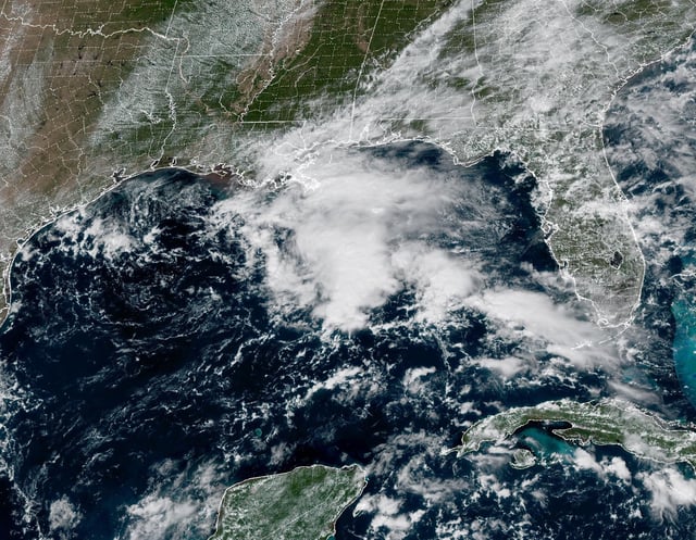
- A weak low in the northern Gulf is spreading showers across the central Gulf Coast with 1–3 inches of rain possible and locally higher totals, but the National Hurricane Center assigns it a 0% chance of tropical development.
- Invest 95L in the eastern Atlantic carries a high seven‑day formation chance of about 60–70%, and forecasters are monitoring for gradual organization this week with its longer‑range track still uncertain.
- Florida beaches face hazardous surf with 5–8 foot waves, life‑threatening rip currents, minor coastal flooding during king tides, and Small Craft Advisories as offshore seas reach 7–12 feet.
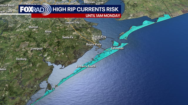
- Southeast Texas remains mostly warm and dry with only isolated showers, though onshore flow is elevating rip‑current risk along Gulf‑facing beaches.
- A cold front is forecast to sweep through around Tuesday night into Wednesday, bringing broader shower chances and a noticeable drop to cooler, drier conditions late week across parts of the East.