
Overview
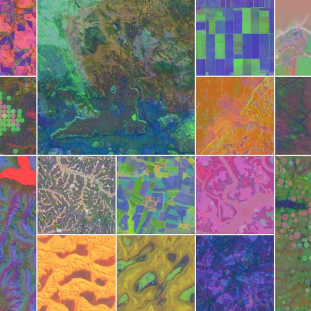
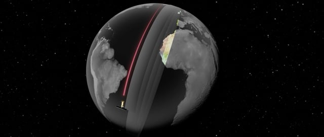
- The Satellite Embedding dataset covering 2017–2024 is now live in Google Earth Engine with over 1.4 trillion 10×10 meter embeddings per year.
- AlphaEarth Foundations compresses diverse Earth observation data into 64-dimensional vectors, cutting storage needs by 16× and reducing error rates by 24%.
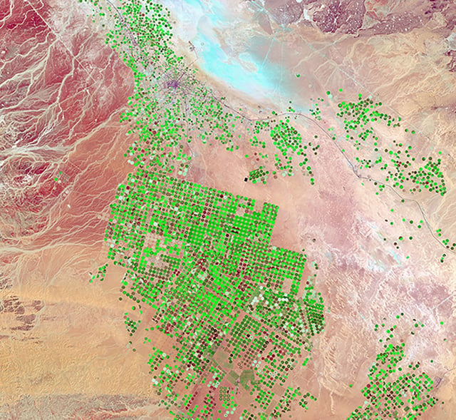
- Early partner MapBiomas reports faster, more precise mapping of agricultural and environmental changes in regions like the Amazon.
- The geospatial AI models already underpin flood and wildfire alerts in more than 80 countries via Google Search and Maps.
- Collaborations are expanding uses in climate tracking, disaster response, urban planning and conservation worldwide.