Overview
- Google Earth AI combines new geospatial models for seven-day flood forecasting, real-time wildfire detection, weather nowcasting and urban mobility analysis
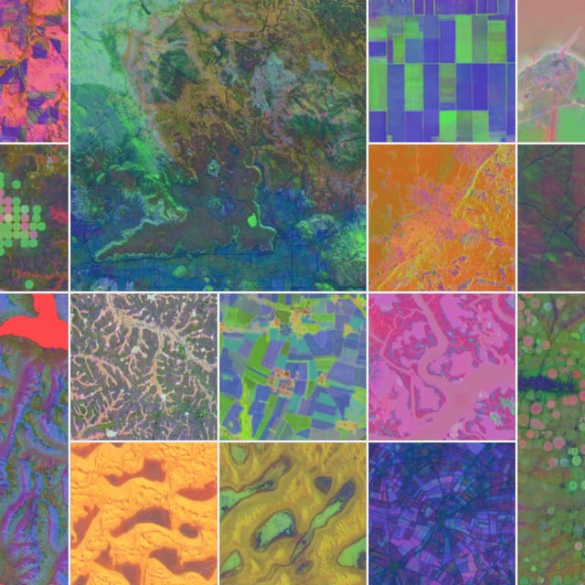
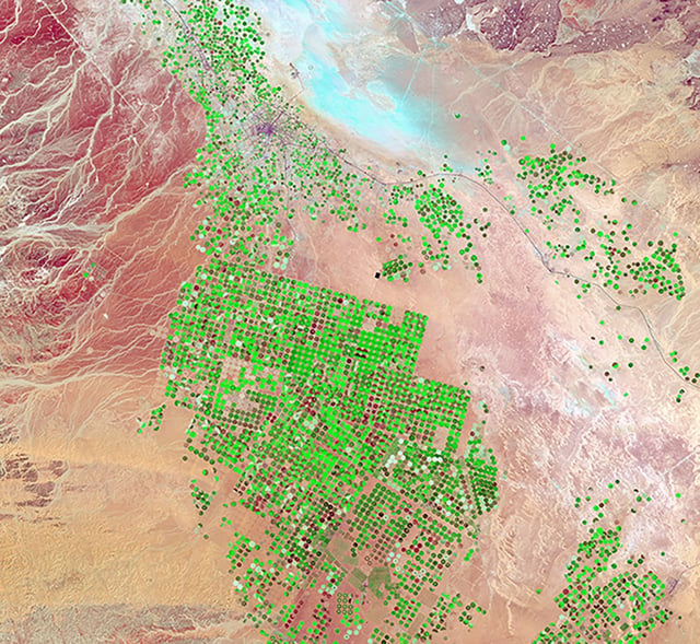
- AlphaEarth Foundations generates compact 64-dimensional embeddings for every 10×10 m land and coastal square by unifying satellite, radar, elevation, climate and terrain data
- Annual embeddings spanning 2017–2024 are now publicly available in Google Earth Engine, enabling on-demand custom maps at 10 m resolution
- Benchmark tests show AlphaEarth requires 16× less storage and delivers 24% lower mapping error rates than previous systems, speeding up planetary-scale analysis
- The embeddings omit individual-level details to protect privacy and are already used by over 50 governments, NGOs and research labs for conservation, disaster response and urban planning