
Overview
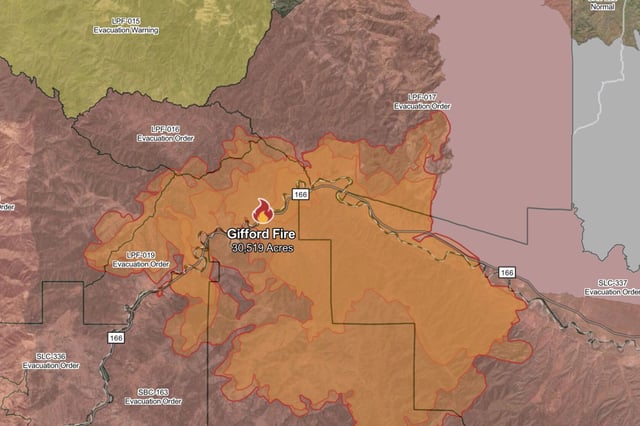
- The wildfire leapt from under 1,000 acres to more than 30,000 acres within 48 hours after igniting along Highway 166 on August 1.
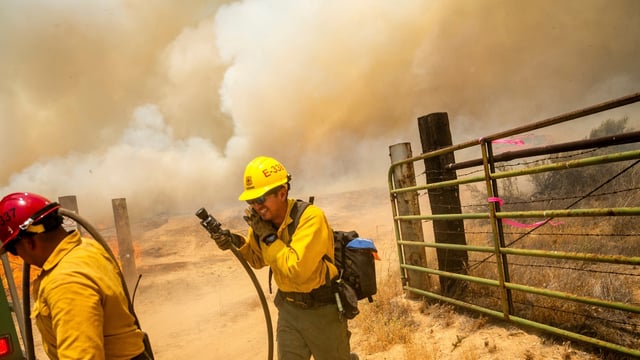
- High temperatures, dry chaparral and rugged slopes have kept containment stuck at 5 percent despite continuous firefighting operations.
- Mandatory evacuation orders cover multiple zones in both counties, with shelters and animal assistance centers activated for displaced residents and livestock.
- A unified command now includes Cal Fire, U.S. Forest Service teams and mutual aid crews from five Sacramento-area departments to bolster manpower and air support.
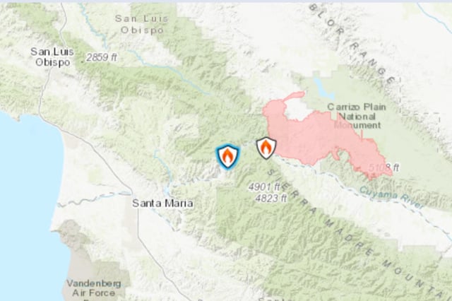
- State and federal investigators are examining several ignition points near Highway 166 as they work to determine the blaze’s cause.