
Overview
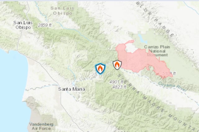
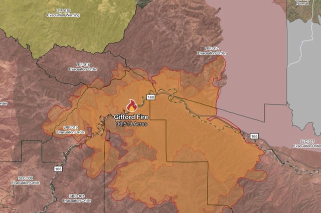
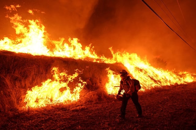
- The wildfire has consumed over 23,000 acres in San Luis Obispo and Santa Barbara counties with containment stuck at 5 percent.
- Mandatory evacuation orders cover multiple communities along Highway 166 due to an immediate threat to life and property.
- Firefighters from Sacramento Metropolitan Fire District, the Sacramento Fire Department, West Sacramento Fire Department, Cosumnes Fire Department and Manteca Fire Department have been deployed to support the response.
- The Gifford fire ranks as California’s second-largest blaze of 2025, trailing only the now-contained Madre fire.
- Investigators continue to probe the origin of the wildfire, with the cause of ignition still undetermined.