Overview
- Containment dipped from 5% on Saturday to just 3% by Monday despite rapid fire growth under soaring temperatures and low humidity.
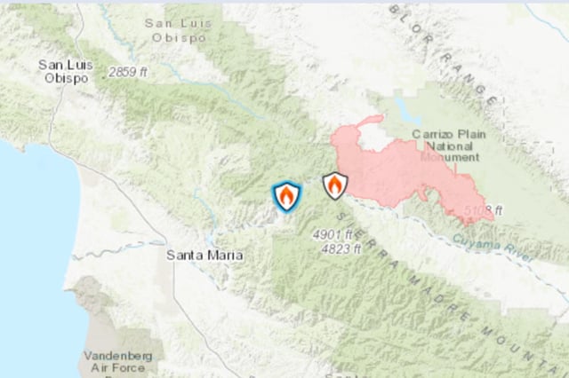
- Mandatory evacuations cover more than a dozen areas in San Luis Obispo and Santa Barbara counties, with shelters open for displaced residents and livestock.
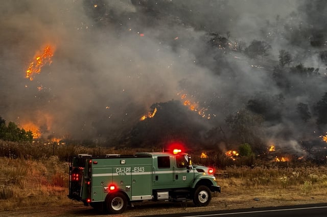
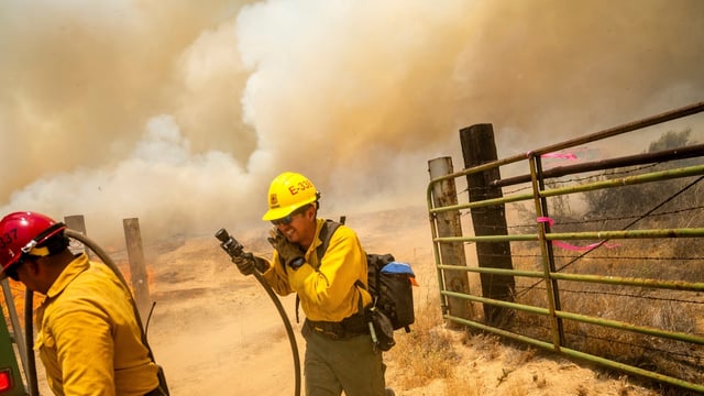
- Unified command of Cal Fire, U.S. Forest Service and mutual-aid crews has deployed over 1,000 personnel along with aircraft and very large air tankers.
- Three people were injured—two contractors in a UTV rollover and one civilian flown to a hospital with burn injuries—as firefighters focus on suppression.
- Investigators continue probing the fire’s origin amid California’s intensifying wildfire season and challenging containment conditions.