Overview
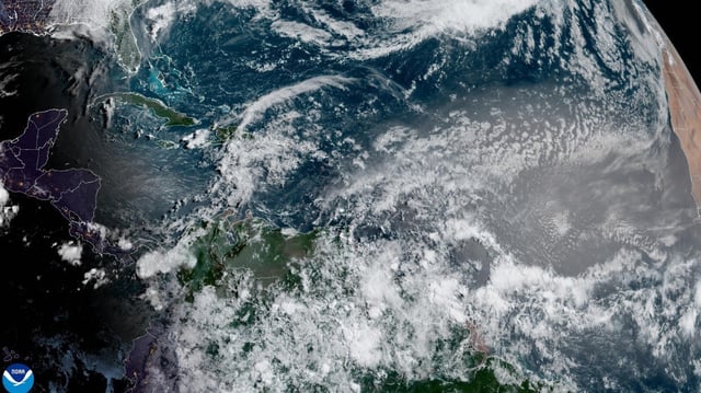
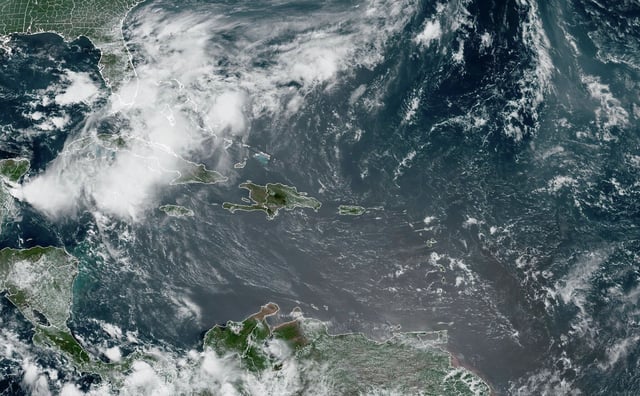
- On June 2 the plume blanketed the Caribbean, stretching roughly 2,000 miles east-west and 750 miles north-south.
- Puerto Rico’s National Weather Service issued air quality alerts and recommended masks after aerosol readings hit a 0.55 optical depth.
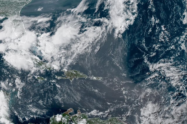
- Forecasts project the dust will arrive in Florida on June 4 and spread to Gulf Coast states by weekend, creating haze and spots of 'dirty rain.'
- The Saharan Air Layer’s dry, warm air is expected to hinder tropical cyclone formation, potentially delaying early hurricane activity.
- Enhanced dust scattering will produce vivid red and orange sunrises and sunsets across the impacted regions.