

Overview
- An Alpine low kept central and southern regions cool, wet and windy through Thursday, but rain is now easing as the north trends sunnier.
- Preliminary DWD totals show exceptional short‑term rainfall in spots, including 77 l/m² in 24 hours at Grünstadt‑Sausenheim, with overall impacts described as limited.
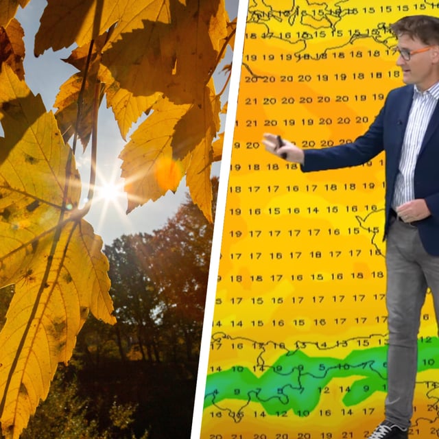
- The DWD expects a weekend moderation with many areas turning drier and temperatures commonly rising to about 16–20 °C, though a north–south split persists.
- Forecasters caution that strong thunderstorms are possible from Saturday in southern Bavaria, prompting advice to secure items that should not get wet.
- Exposed high elevations can still see storm‑force gusts around 80 km/h, and nights will cool into single digits in many places with a risk of fog.