
Overview
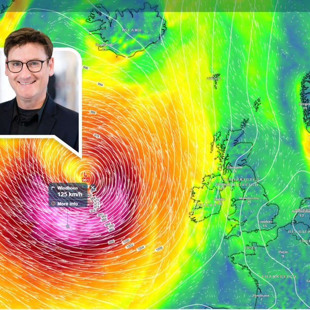
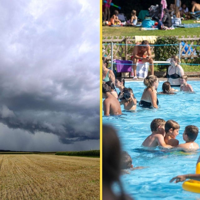
- Western and southern regions reach around 30 to 32 degrees on Tuesday before a rapid change sets in overnight.
- Thunderstorms and heavier showers are expected to spread from the southwest from the night into Wednesday, with locally severe cells possible.
- The DWD flags Baden-Württemberg for short-duration heavy rain of 15 to 25 liters per square meter and strong to gale-force gusts near 60 km/h, with hail also possible.
- Forecasts indicate a multi-day unsettled phase through the weekend, including broader rainfall totals of roughly 10 to 30 liters per square meter from Friday.
- Monday brought an unusual counterpoint with rare August ground frost at some stations, highlighting the sharp swing in conditions.