

Overview
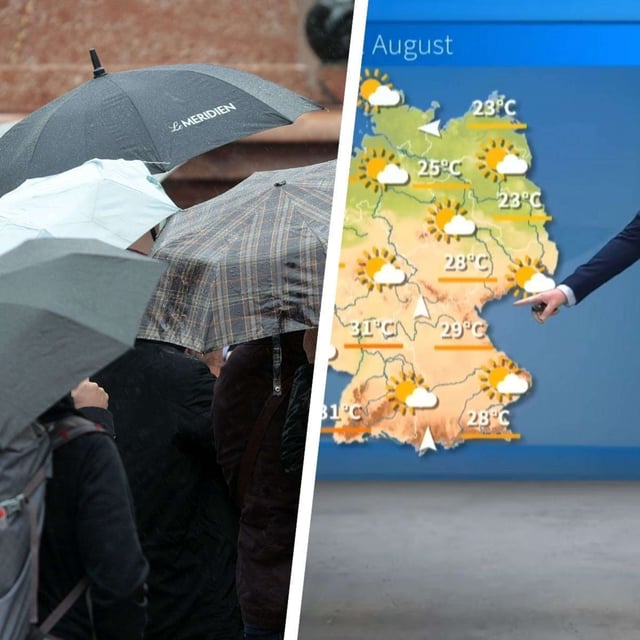
- Temperatures peak near 30 to 32 °C in parts of the west and south on Tuesday before a change sets in overnight into Wednesday.
- DWD forecasts locally severe showers and thunderstorms, especially in the southwest and south, with heavy rain, hail and gusts around 60–80 km/h.
- Storms expand from Wednesday into Thursday as a frontal zone and a secondary low develop, bringing periods of rain and a broader cool‑down to the low 20s by Friday and the weekend.
- Model guidance highlights very high rainfall south of the Alps, with 100–300 l/m² possible in Ticino on Thursday; northern Alpine regions in Bavaria and Baden‑Württemberg also face a risk of flooding in places.
- The swing follows rare late‑August ground‑frost readings, including −1.6 °C at Burgwald‑Bottendorf, before a brief surge of subtropical air.