


Overview
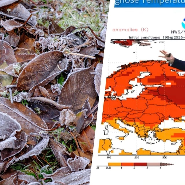
- Daytimes turn largely sunny and cool while nights dip to near or below freezing in many inland and valley locations, with widespread ground-frost risk, according to the DWD.
- Official alerts highlight dense fog in parts of Bavaria with visibility below 150 meters and light mountain snow above roughly 2,000 meters, where 5–10 cm is expected and up to 20 cm in lee and stau zones.
- Northern states enjoy several pleasant days, but the DWD projects a marked turn from Friday night with rain and stürmische Böen at the coasts and exposed terrain.
- Model guidance points to a deep Atlantic low on Saturday, 4 October, linked to the remnants of Humberto and Imelda, bringing heavy rain and strong to locally severe gusts especially at the coasts and in higher elevations.
- Some meteorologists note a possible rapid warm rebound early next week with highs locally near 25–26 °C, though they stress that scenario remains uncertain.