


Overview
- Midweek stays largely dry and bright across many regions, with daytime highs mostly between about 10 and 18 degrees Celsius.
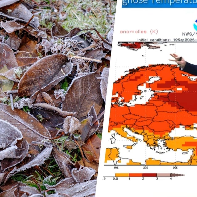
- Nights turn noticeably colder, dipping to around 5 to 1 degrees inland and locally to zero or slightly below, raising the risk of ground frost from Wednesday into Friday.
- The DWD projects snowfall above roughly 2,000 meters in the Alps at around 5 to 10 centimeters, reaching up to about 20 centimeters in orographic snow belts through Wednesday morning.
- Official advisories highlight dense morning fog in parts of Bavaria with visibility under 150 meters, alongside cautions for slippery conditions where snow and frost occur.
- A developing Atlantic low near Scotland is forecast to send rain and strengthening winds into Germany from late Friday into Saturday, with coastal areas facing gale to severe gale gusts and motorists urged to prepare for early wintry conditions such as with winter tyres.