

Overview
- Temperatures have fallen roughly 15 to 20 degrees in places since the weekend, with Monday highs commonly between about 9 and 18 degrees.
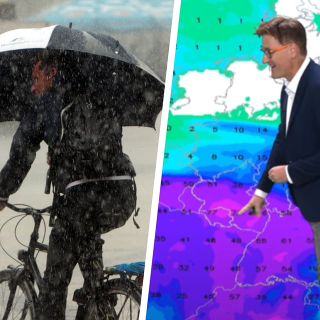
- Official warnings include Dauerregen in Baden‑Württemberg with about 30 to 50 l/m² by Monday and up to 60 l/m² in orographic areas, raising localized flood risk.
- Strong to storm‑force gusts are forecast on the coasts and exposed terrain, with peaks around 80 to 90 km/h possible on the North Sea and in higher elevations.
- The weather split persists, with the south and southwest cool, wet and unsettled, while parts of the north and northwest see drier intervals and some sunshine.
- Forecasters expect the unsettled pattern to linger through midweek, with early signals for a drier, sunnier turn late in the week still carrying uncertainty.