


Overview
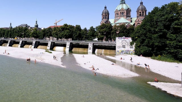
- Tuesday stays mostly sunny and warm, with up to 32°C along the Upper Rhine and cooler 19–23°C near the North Sea.
- From Wednesday, showers and thunderstorms expand from the southwest, with the greatest risk centered on Baden‑Württemberg and Bavaria.
- Forecasters caution that some model runs simulate locally 100–200 l/m² in the south, with potential for hail, strong gusts and flash flooding.
- By Friday, an influx of polar air lowers daytime temperatures broadly to about 17–22°C and brings fresher northerly winds with cooler nights down to roughly 7–14°C.
- Conditions begin to stabilize over the weekend with more dry and sunny periods in many regions, though scattered showers are still possible and dryness persists elsewhere.