


Overview
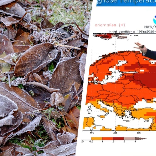
- Clear nights continue to drive widespread ground frost, with inland lows around 0 to -3°C and milder values along the coasts, according to DWD forecasts.
- Official Level-1 alerts are in effect for morning frost and light snow in parts of Bavaria and high Alpine areas, with warnings of slick roads and hazards for sensitive plants.
- From Friday night into Saturday, a west‑to‑east front brings rain and strengthening winds, with stürmische Böen inland and severe gusts on exposed peaks such as the Brocken and in the Hochschwarzwald.
- DWD meteorologists expect the strongest impacts along the North Sea, where heavy gusts are likely and a small storm surge is possible but not yet certain.
- Temperatures rise somewhat over the weekend—locally near 20–22°C in the southwest—then some guidance points to a brief warm pulse early next week from ex‑tropical systems, a scenario still of low confidence.