

Overview
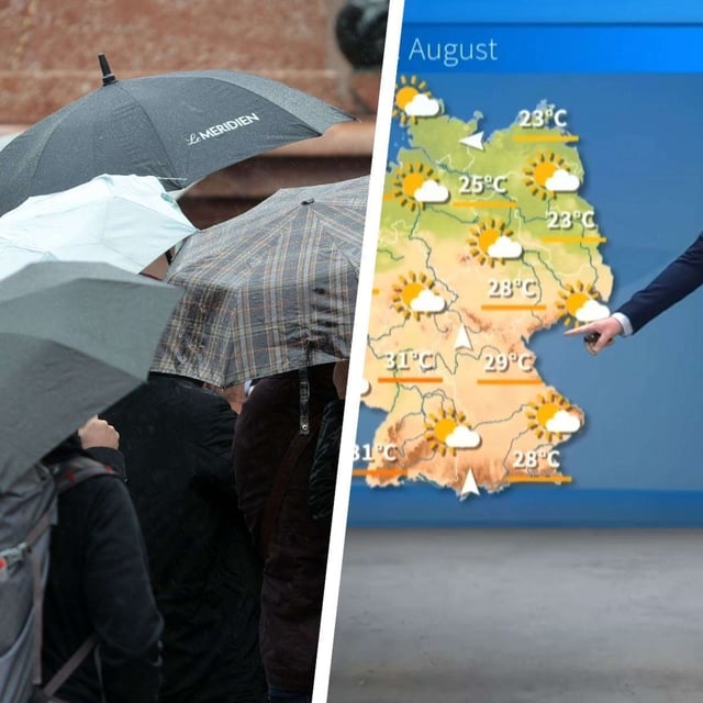
- After a short burst of warmth near 30–32 °C on Tuesday, showers and thunderstorms are expected to spread from the southwest late Tuesday night into Wednesday.
- The Deutscher Wetterdienst warns of localized severe storms in central and southern regions from Wednesday, with risks that include heavy rain, hail and strong gusts.
- Bavaria faces targeted hazards on Wednesday, with potential for 15–25 l/m² in a short time, hail up to about 2 cm and gusts up to roughly 80 km/h in parts of Franconia and northern Swabia.
- Model guidance highlights the Alps—especially Ticino—where 100–300 l/m² in a day is possible, raising flood and landslide concerns, while broader areas see lower but locally significant totals.
- Following the frontal passage, forecasters expect a cooler, unsettled regime into the weekend with many highs around 18–22 °C and widespread rainfall near 10–30 l/m² by Friday.