

Overview
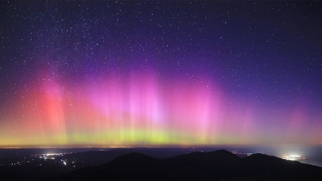
- Pre-dawn displays were photographed across New England, including from Mount Washington and across Maine, with bright activity also reported in Alaska.
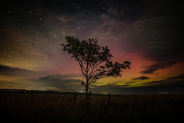
- Activity reached the U.K., where photos were captured over Scarborough after AuroraWatch UK issued a red alert Tuesday night and an amber alert on Wednesday evening.
- NOAA’s Space Weather Prediction Center recorded a strong G3 storm early Tuesday with Kp peaking around 7.3, tied to Sunday’s M6.4 solar flare and a CME that likely clipped Earth, officials said.
- Short‑term outlooks keep viewing chances elevated, with NOAA forecasting around Kp 5 Tuesday night for many northern-tier U.S. states and the Met Office pointing to a potential enhancement Thursday evening for Scotland, pending cloud cover.
- Forecasters cite the post‑equinox setup and the ongoing solar maximum as drivers of heightened activity, with additional bursts possible later this week from fast solar-wind streams.