Overview
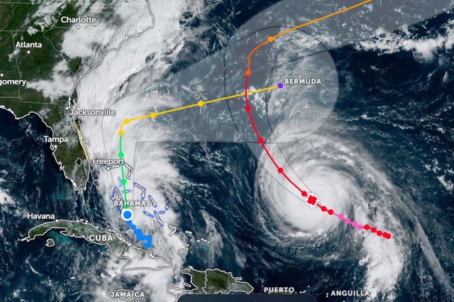
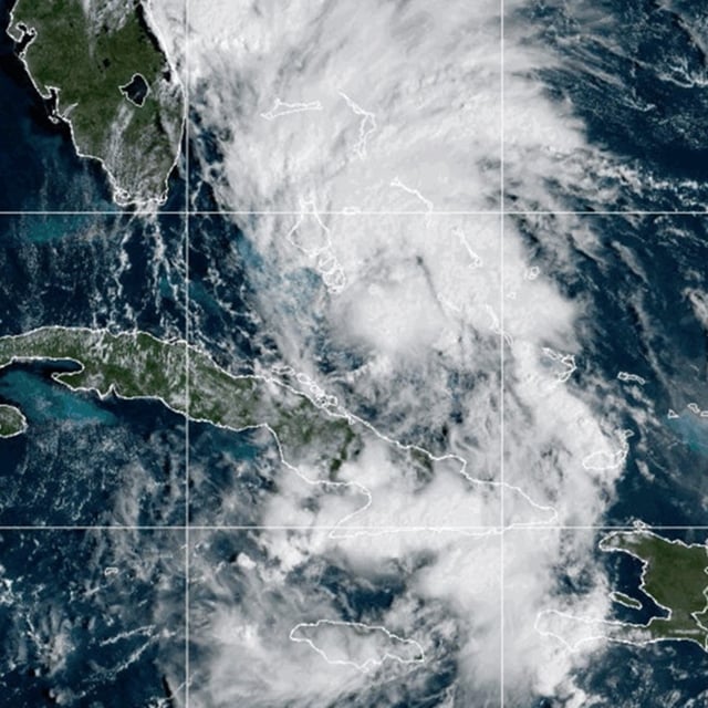
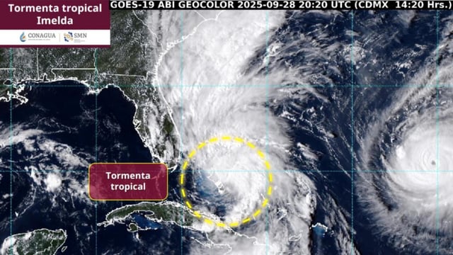
- Tropical Depression Nine near the central and northwest Bahamas is expected to strengthen into Tropical Storm Imelda on Sunday and could reach hurricane intensity by Monday night or Tuesday, according to the National Hurricane Center.
- Model guidance over the past 24–36 hours has trended toward an offshore recurvature, with a sharp turn east early this week that keeps the center away from the Southeast coast while still bringing bands of heavy rain, gusty winds and coastal flooding.
- The NHC now projects 1 to 5 inches of rainfall along parts of the Carolina coasts through Wednesday, with dangerous surf and rip currents affecting Florida, Georgia and the Carolinas even if the storm’s core remains offshore.
- Tropical-storm warnings are in effect for parts of the Bahamas, advisories have been posted along sections of Florida’s east coast, and authorities have urged residents to complete final preparations.
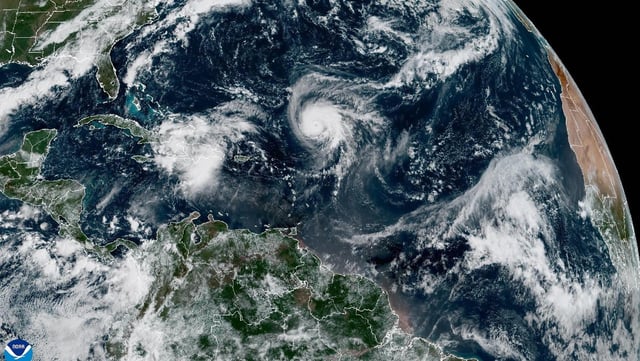
- South Carolina and the city of Charleston declared emergencies, North Carolina issued a statewide emergency, FEMA said it is ready to assist, and Hurricane Humberto remains a powerful Category 4 system generating hazardous seas from the Caribbean to Bermuda and the U.S. East Coast.