Overview
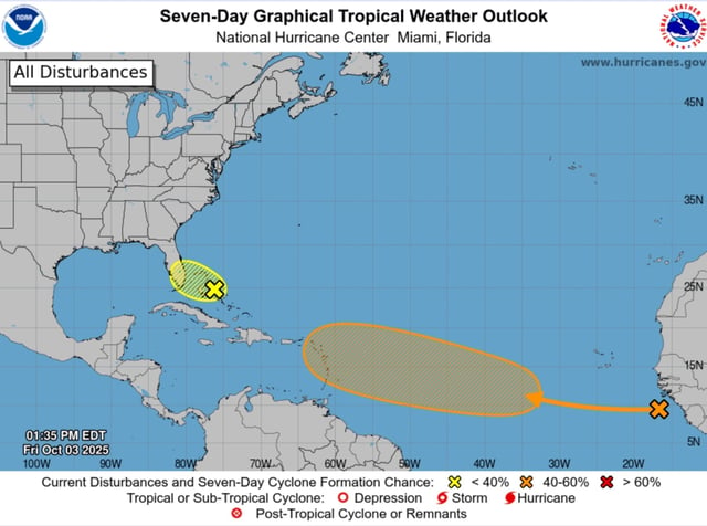
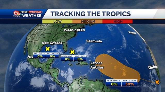
- The National Hurricane Center cut formation chances for the weak low near the Bahamas and over Florida to 0% in both the 48‑hour and 7‑day outlooks.
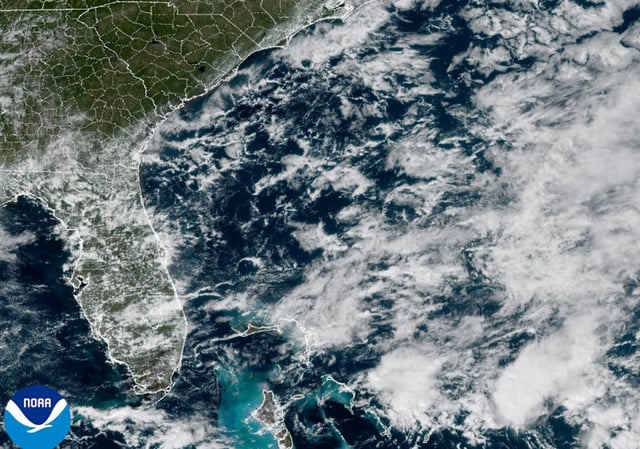
- Heavy rain is forecast across Florida, with most east‑coast areas expected to see 2–3 inches and isolated totals up to 4–6 inches that could trigger localized flash flooding.
- Flood watches, high surf and rip current advisories, and small craft advisories are in effect as 5–8 foot breakers and elevated tides persist along the coast.
- A separate tropical wave between Africa and the Cabo Verde Islands has a 50% chance of development within seven days and could become a depression near or east of the Lesser Antilles late next week.
- Forecasters stress considerable uncertainty for the eastern Atlantic disturbance, noting many model scenarios curve it north over open water while details may change as it organizes.