Particle.news

Download on the App Store

Florida Low-Pressure System Holds 20% Cyclone Development Chance

Heavy rainfall is forecast to trigger localized flash flooding across the Florida peninsula into the north-central Gulf coast by midweek.

A map from the National Hurricane Center shows a risk area near Florida, Alabama, Mississippi and Louisiana amid a low-pressure system that could strengthen into a tropical storm.
The tropical outlook as of 2 p.m. Saturday, July 12, 2025. (NHC)
Image
The National Hurricane Center is monitoring a system of low atmospheric pressure, seen as a cluster of clouds Monday morning in this weather satellite photo of Florida's Atlantic coast. Forecasters are watching for potential tropical development as the low pressure system moves into the northeastern Gulf of Mexico through Tuesday.

Overview

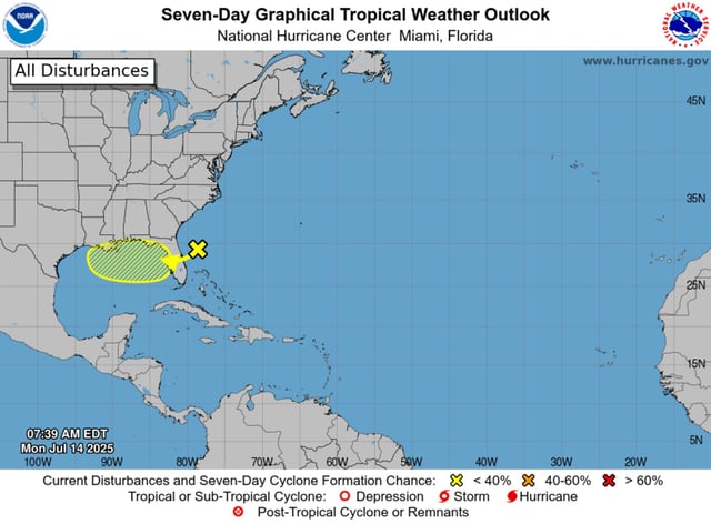
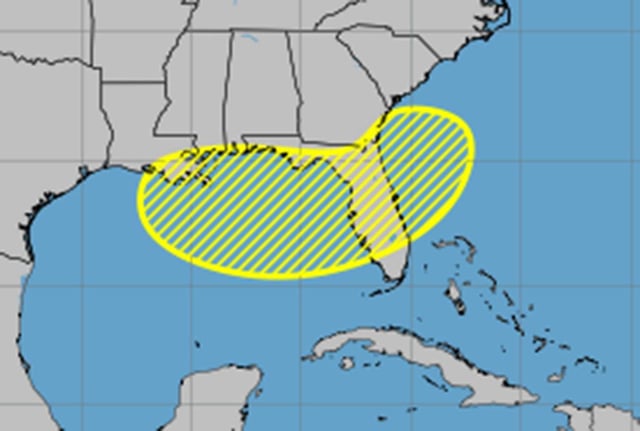
  • The National Hurricane Center assigns the disturbance off Florida a 20% probability of becoming a tropical cyclone within seven days.
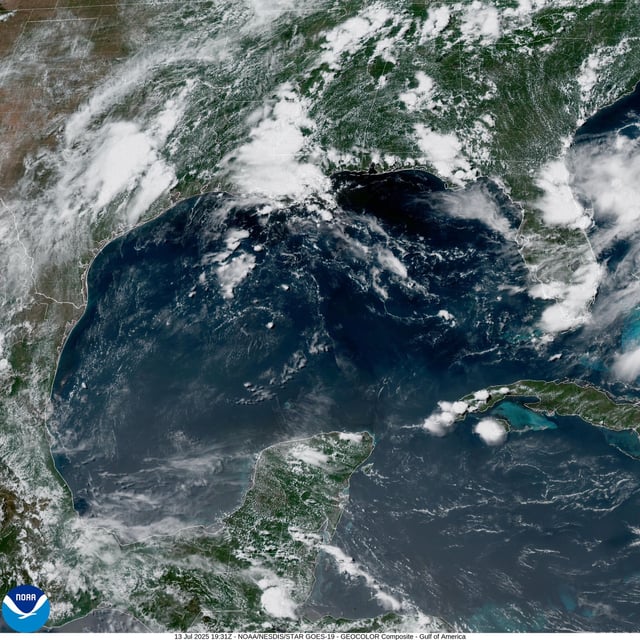
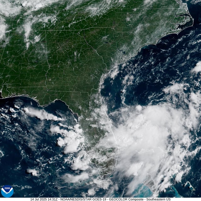
  • Forecast models track the low-pressure area moving westward over the Florida peninsula and into the northeastern Gulf of Mexico by midweek.
  • Regardless of tropical development, heavy showers could produce localized flash flooding in parts of Florida and along the north-central Gulf coast.
  • Forecasters say marginally favorable environmental conditions could support gradual organization later this week, potentially yielding Tropical Storm Dexter.
  • NOAA’s preseason outlook projected 13 to 19 named storms for 2025, and Colorado State University researchers recently trimmed those activity expectations.