Overview
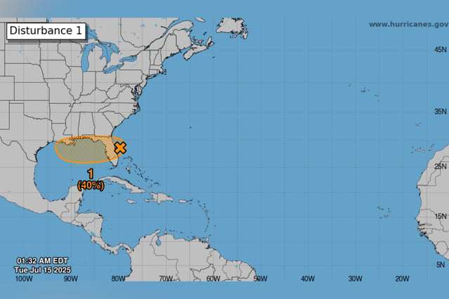
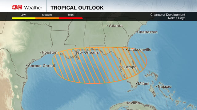
- The National Hurricane Center has increased the disturbance’s probability of developing into a tropical depression or storm to 40% over the next 48 hours and through Sunday.
- The system is forecast to move west across the Florida Peninsula on Tuesday before entering the northeastern Gulf of Mexico by midweek under generally favorable environmental conditions.
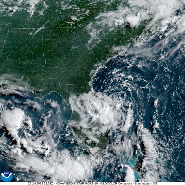
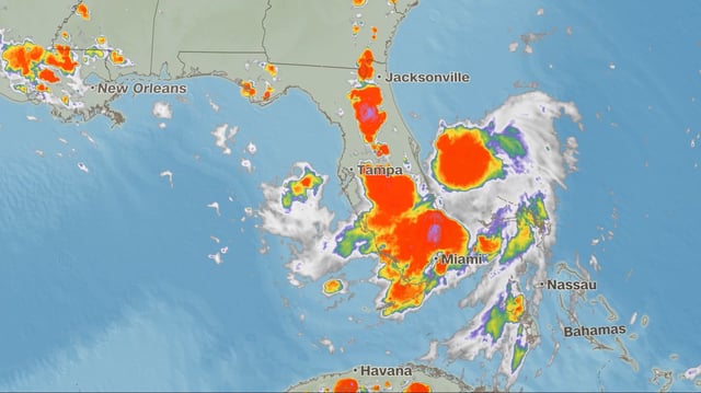
- Heavy rainfall from the disturbance produced over 10 inches of rain in Plant City on July 14 and forecasters warn of localized flash flooding risks across central Florida.
- If the system strengthens into a tropical storm it will be named Dexter as the fourth storm of the 2025 Atlantic hurricane season.
- Forecasters expect enhanced Gulf winds to generate rough surf and dangerous rip currents along the coast later this week.