Overview
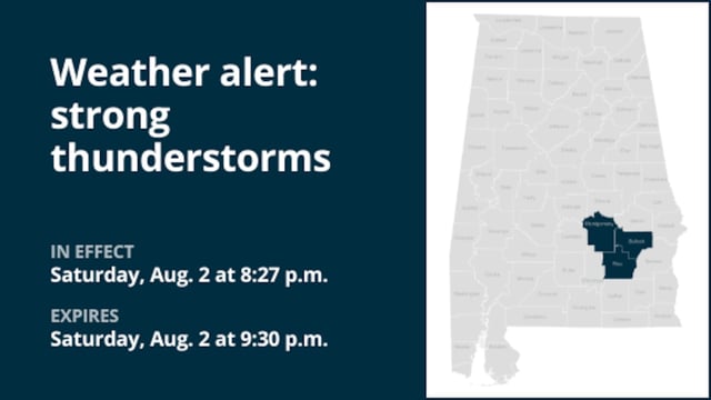
- Flash flood warnings issued Saturday night at 9:05 p.m. for Bullock, Macon and Montgomery counties remain in effect until 12:30 a.m. Sunday after Doppler radar detected 2–4 inches of rain.
- Additional rainfall of up to 2 inches is possible, increasing the risk of rapid water rise in creeks, urban streets and underpasses across the warned area.
- Flash flooding has already been reported in small streams and poor-drainage zones, leading the National Weather Service to reiterate its “turn around, don’t drown” guidance.
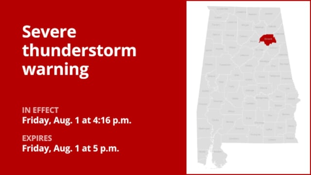
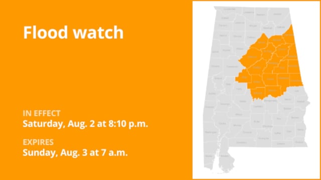
- Earlier alerts for Cherokee, Calhoun, Etowah and St. Clair counties expired Saturday night, but isolated showers and runoff still pose threats in eastern Alabama.
- The storm system that began with flood advisories in eastern Oregon has tracked southeastward into Alabama, escalating from minor flooding concerns to life-threatening flash flood warnings.


