


Overview
- The National Weather Service extended flash flood warnings through early afternoon for Johnson, Jackson and surrounding counties with up to two more inches expected.
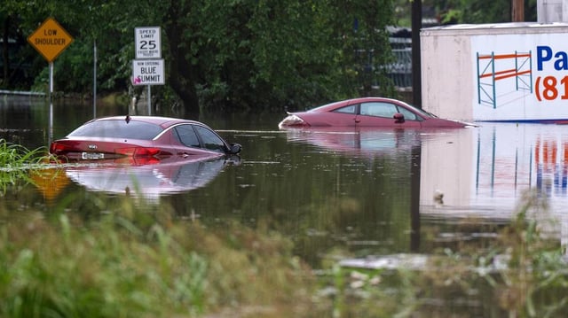
- Rainfall is tapering off by midday as the Kansas City Fire Department wraps up 18 high-water vehicle rescues without any reported injuries.
- Evergy has logged more than 22,000 storm-related power outages across Kansas and Missouri as crews work to restore service.
- Minor flooding continues in low-lying areas such as Indian Creek at Overland Park, testing the region’s aging drainage infrastructure.
- Forecasts call for a heat wave this weekend with highs climbing into the mid-90s and potentially reaching 100°F, shifting focus to heat preparedness.