

Overview
- The National Weather Service has issued flash flood watches and warnings from Maryland into New England as torrential downpours of 1–3 inches per hour threaten already saturated ground.
- Tornado warnings and severe thunderstorm alerts remain active around Philadelphia after radar detected potential twisters near King of Prussia and Plymouth Meeting with winds up to 70 mph.
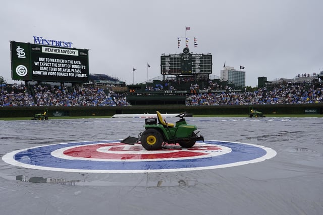
- Chicago recorded between 2.5 and nearly 7 inches of rain in under two hours overnight July 8–9, leading to flash flood warnings and stranded vehicles in submerged underpasses.
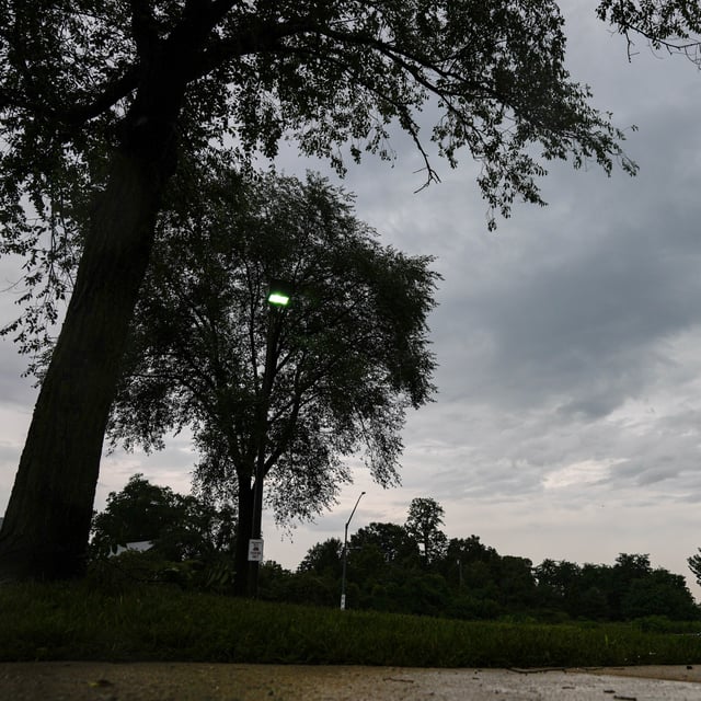
- Forecasters say a slow-moving cold front combined with lingering tropical moisture from Chantal has stalled over saturated soils, complicating predictions and heightening flood hazards.
- Additional rounds of thunderstorms are forecast through the rest of the week, raising risks of urban flooding and damaging winds across multiple regions.